Sizergh Castle - Dig in the Park 2013
|
Introduction
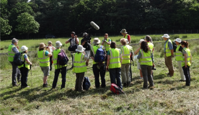
The project took place 6th to 21st July 2013 after an invitation to the community to get involved. The "Dig in the Park" project follows on from the 2010 Landscape Survey of Sizergh Park, and the dig was of two items of interest discovered through the survey:
Both of these are situated in the Park adjacent to the entrance lane. |
|
Additionally, there was:
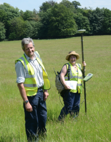
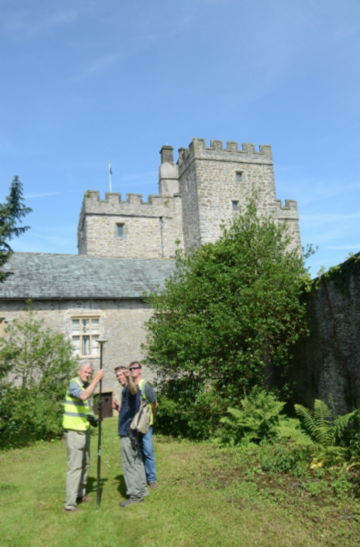
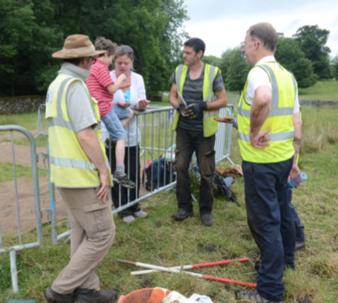
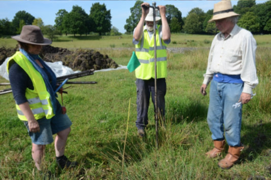
Training Days
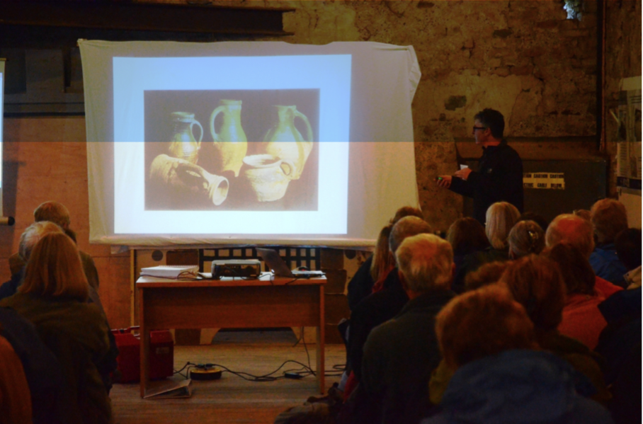
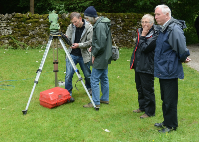
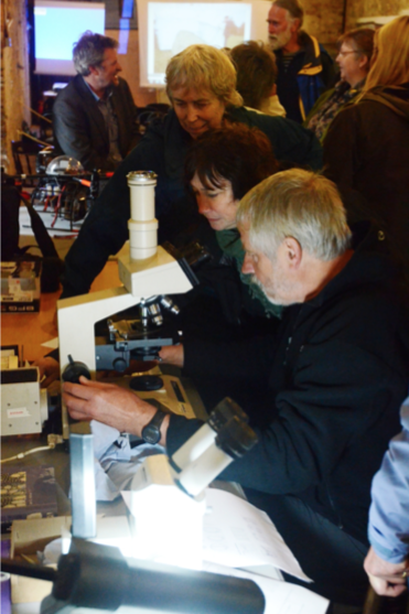
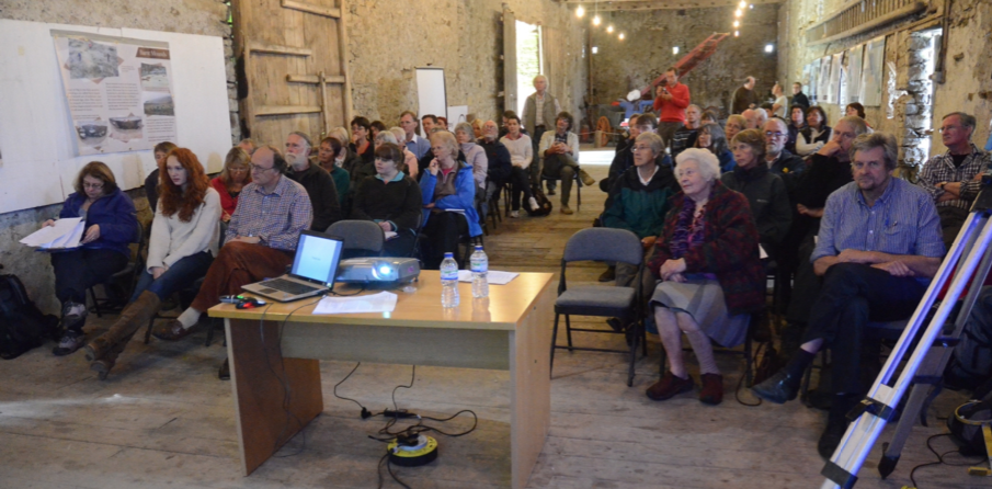
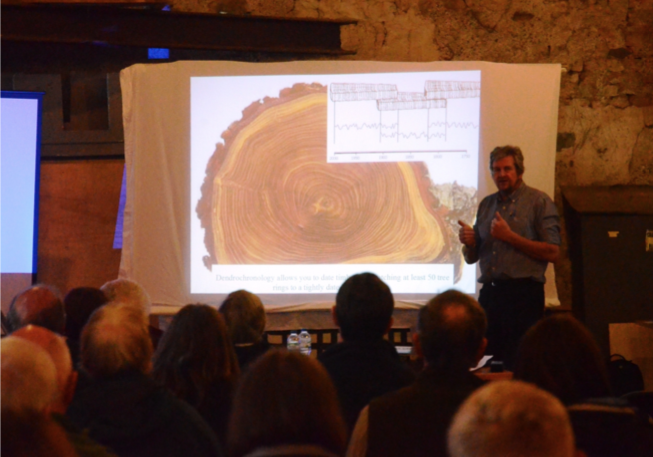
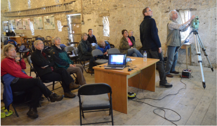
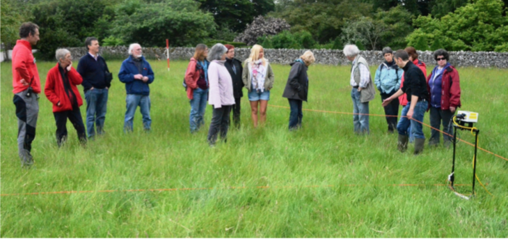
In June there were two training days at Sizergh Castle so that volunteers could get an overview of the project, and learn some of the archaeological and surveying techniques. See reports of the days 22 June and 29 June below.
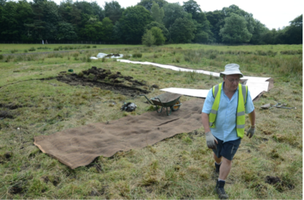
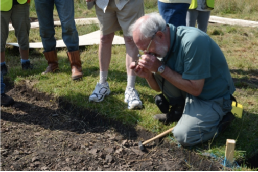
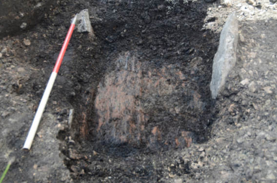
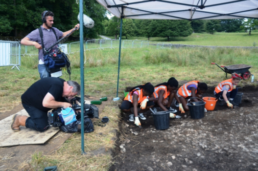
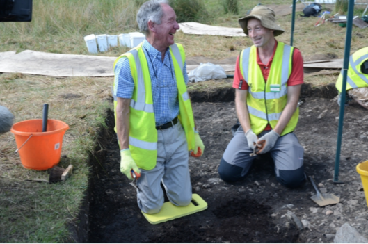
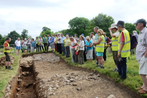
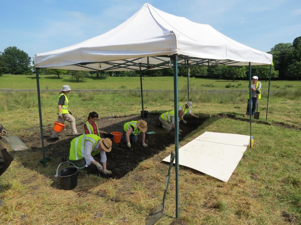
The Dig – 6th to 21st July 2013
Read the day to day blog of the dig!
See our report on the two weeks of excavation and survey.
Project initiated by Levens Local History Group, in partnership with the National Trust, utilising the professional skills of Oxford Archaeology North, and funded by the Heritage Lottery Fund.
Reports published Feb 2014
Reports from Oxford Archaeology North
- a full geophysical survey of that portion of the Park
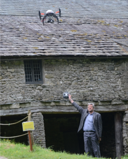
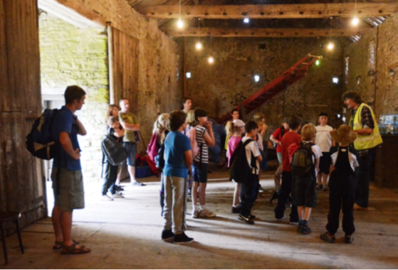
- a detailed vernacular building survey of the Great Mediaeval Barn
Training Days
In June there were two training days at Sizergh Castle so that volunteers could get an overview of the project, and learn some of the archaeological and surveying techniques. See reports of the days 22 June and 29 June below.
The Dig – 6th to 21st July 2013
Read the day to day blog of the dig!
See our report on the two weeks of excavation and survey.
Project initiated by Levens Local History Group, in partnership with the National Trust, utilising the professional skills of Oxford Archaeology North, and funded by the Heritage Lottery Fund.
Reports published Feb 2014
Reports from Oxford Archaeology North